Martin C. Barry
Just as Rome wasn’t built in a day, the task of revising and finalizing the City of Laval’s master urban plan is one that is taking years to accomplish – with some additional effort still ahead.
Since first coming into office in 2013, Mayor Marc Demers and city council have been overseeing the gradual reform and re-writing of an island-wide urban planning layout that hadn’t changed since the late 1960s when the City of Laval was created through the merger of 14 towns and villages on Île Jésus.
An overdue revision
Considering that Laval, with a population of more than 422,000, is the third largest city in Quebec. and that its territory is complex and contains vast urban and rural elements, it should come as no surprise that reforming the city’s urban planning scheme is taking as long and in so many progressive stages.
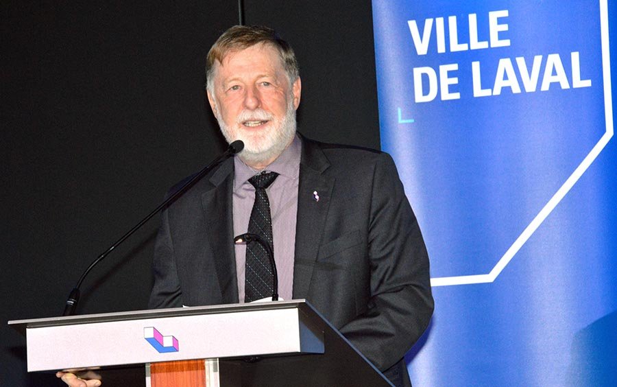
As Mayor Demers explained during a public consultation that gathered together city councillors and more than 100 Laval residents on May 21 at Collège Letendre, the process is also taking place within a larger context.
Compliance with CMM
That framework is an urban planning system for the management of dozens of towns and cities that are subject to the Plan métropolitain d’aménagement et de développement (PMAD), overseen by the regional Communauté métropolitaine de Montréal (CMM).
Over the past two years alone, the City of Laval held consultations, from which suggestions made by citizens were incorporated into the plan. “The stage beginning tonight is to revise all the urban planning regulations from one end of the island to the other,” said Demers.
“This is a colossal work for our teams. And why are we doing this? Because several of our regulations date from a past era and obviously are not in conformity with the needs of Laval residents. And so for us this is important work, and we know that regulations have to be there in the interest of citizens in order to serve them well.”

Adopting a new outlook
Laval’s director of urban planning, Luc Paquette, said that when the city’s last master urban plan was revised during the 1970s, it was based on values from the 1950s and 1960s when the overall outlook among officials and urban planners in Laval was focused almost entirely on automobile transit.
Laval evolved along those lines until well into the 2000s, and a large part of the urban plan revision amounts to correcting this overriding theme which visibly dominates the suburban landscape here.
Another member of the city’s urban planning team, Jean Chartier, said some of the coding in Laval’s existing urban plan is so outdated it’s still spelled out in imperial units (rather than metric). “It’s so old that even professionals in urban planning and architecture have difficulty understanding it, so it’s creating a lot of frustration,” he said.
Complaint on farm zoning
Among those who got up to the microphone during a public question period was Gilles Lacroix, a Laval-area farmer who maintained (like many other farmers in Laval) that the City of Laval continues to neglect pledges made as early as 1988 to safeguard Laval’s historic agricultural legacy.
“You talk about protecting the agricultural territory,” he said, noting that the city provides little incentive to keep agricultural property owners from abandoning their land. Jean-Claude Longtin of Duvernay Est said the city needs to do something about the ever-increasing amount of vehicular traffic in Laval caused by drivers commuting from the North Shore to Montreal.
“When you take the 440 in the morning, it’s not people from Laval there, it’s people from Terrebonne and Mascouche,” he said. “It might be necessary to develop something so that these people can take a fast way to get to the Metro without cars. It’s not just for us, but also for people from outside.”


